

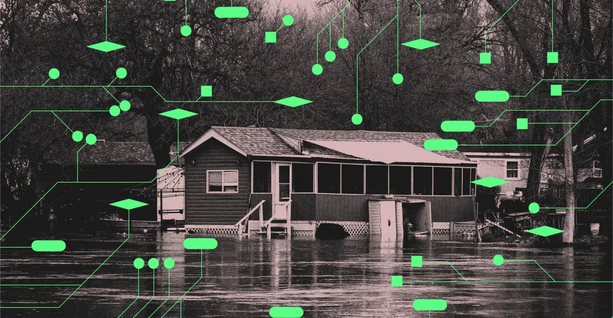
On the morning of June 9th, Laura Lin was working from her home in Lanesville, a rural southern Indiana town about 15 miles from the Kentucky border. She was on a Zoom call, unaware that the heavy rain outside was beginning to flood her yard.
“I look over to where the barn is over there, and I see pieces of my wood floating, and I was like, ‘What?’ And I immediately was like, ‘I have to go.’ Close my laptop, and I get my kids up, and I’m like, ‘Something’s wrong,’” Lin recalls.
Lin and her family got out safely and sheltered at a neighbor’s house, but Lanesville got over 8 inches of rain within just a few hours that day, way over the threshold for what is considered “heavy” rainfall. The water was gone a few hours later.
Floods are the second-deadliest type of weather event in the United States and the deadliest globally. Just 6 inches of fast-flowing water can knock an adult off their feet, 12 inches can lift a car, and 2 feet can move larger vehicles like trucks and SUVs. A warming climate means more instances of extreme rainfall in the US, creating more opportunities for floods to occur. The deadly flash flooding in Nepal in August caused by a glacier collapse shows the power of water to devastate communities worldwide.
Fortunately, new tools are being developed to counter this threat. A new software called the Transient Artifact and Continuous Learning System (TACLS) uses satellites and machine learning to try to spot areas that could flood sooner and help the National Weather Service (NWS) make better decisions when it comes to issuing flash flood alerts.
“We didn’t get the ‘get on your roof’ warnings until I was already at that person’s house,” Lin says. “All the people in town were already flooded when they started sending out alerts, being like, ‘Get on your roof. We’re dispatching boats.’ So it was way too late.”
TACLS has the potential to help change that.
“It will help you save lives,” says Ivory Small, science and operations officer at the NWS San Diego Weather Forecast Office. Without TACLS, Small says, a storm moving into your area “could kill some folks.” With TACLS, “you can put out the warning and save some folks.”
The river near Laura Lin’s house in Lanesville, Indiana, flooded after a recent rain. New technology could provide residents with quicker warnings when the threat arises. Image: Megan Wollerton / The Verge
Weather forecast offices are responsible for issuing severe weather alerts, including flash flood warnings. There are 122 of them throughout the US and its territories, says Jayme Laber, senior service hydrologist for the NWS Weather Forecast Office in Oxnard, California, which oversees the LA area. Small and Laber worked closely on the TACLS project with a broader team of scientists and researchers, and they hope this new project will streamline weather alerts. To understand TACLS, it’s important to first understand how the NWS issues flood alerts.
Currently, the people working in weather forecast offices use a variety of tools to monitor flood conditions. They rely on rain and stream gauges to tell them how much water is in a certain place at any given time, Laber says. They track developing storms using satellites and weather radars. The staff monitors rainfall, but their computers also alert them when it rains more than what is considered safe for a specific area. “Based on the type of soils we have, the steepness of slopes, we have developed flash flood guidance so that we know that if we get this amount of rain in this amount of time in that area, it could result in flash flooding,” Laber says.
“It will help you save lives.”
— Ivory Small
All of that, plus the years of expertise inside those buildings, determines whether or not someone presses a button to issue a flood alert for their area, Laber says.
A watch is the least serious alert. It means that there’s a chance a flash flood could happen. The watch might be issued anywhere from 12 to 48 hours in advance, Laber explains. He says local emergency teams should start working on “flood protection measures” when the flood watch is issued, so there’s enough time to prepare before people are stuck and forced to find higher ground. Response teams might review evacuation plans, set up sandbags and road barriers, and identify the highest risk areas ahead of a potential flood.
An advisory is the next level up. It might be flooding, “but it’s more nuisance-level. It’s not going to threaten life or property,” Laber says. A warning is the most serious alert. “That’s a life-and-death possibility of being swept off your feet [or] being run over by a car floating down the stream,” Small says.
The NWS differentiates a regular flood from a flash flood based on time, says Small. If an area floods in under six hours, it’s a flash flood.
The NWS has a lot of different ways to determine whether or not it needs to issue a flash flood warning, but its tech has limitations, says Yehuda Bock, TACLS project lead and research geodesist at the Scripps Institution of Oceanography at the University of California, San Diego. The satellites the NWS uses are more detailed over oceans than land, he says. And tracking rainfall as it’s happening doesn’t give you enough lead time, “because once there’s precipitation, you’re already in the event itself,” he explains.
Deserts and other less populated areas typically have fewer rain gauges, Laber says. “We have a fairly dense network [of rain gauges], but it doesn’t cover every inch of the Earth.”
TACLS uses satellites and machine learning to identify places on a map — for now, just in California — that risk transitioning from rain to dangerous flash floods. But soon, the technology will be available to every NWS office. Scientists from UCSD, the NWS, and NASA worked together to create TACLS. NASA’s Earth Science Technology Office funded the project through its Advanced Information Systems Technology program.
TACLS relies on the Global Navigation Satellite System (GNSS), which is primarily used to predict earthquakes, says Bock. But the GNSS network, which consists of satellites and ground sensors, also happens to provide data that can help forecasters decide if they need to issue a flash flood warning. The more water vapor, or moisture, there is in the atmosphere, the longer the delay in communication between the GNSS satellites and the sensors on the ground.
The amount of moisture, or “precipitable water,” in the atmosphere tells the NWS what is actually happening in the skies leading up to a storm, Laber says.
TACLS uses satellites and machine learning to identify places that risk transitioning from rain to dangerous flash floods.
Before TACLS, Laber and his colleagues had to rely on the forecast, which wasn’t always accurate. TACLS provides real-time data about the precipitable water in the atmosphere to compare to the forecast. This helps them determine whether the storm is actually moving at the speed predicted by the weather models. “It helps us to make better decisions in our warning decision process,” Laber says.
Even with the GNSS moisture data, forecasters still need something to analyze all of it. Bhavik Chandna, a UCSD graduate student, spent about a year developing the machine learning side of TACLS using what’s called long short-term memory architecture. According to Chandna, this specific machine learning system works especially well for things like developing storms and other weather patterns that change over time.
Years of atmospheric measurements from the GNSS network, as well as data about atmospheric rivers, precipitation, and flash flood warnings, were used to train the machine learning model to understand moisture changes in the atmosphere “as a storm develops,” Chandna explains. At the same time, the machine learning system was trained to determine if the conditions are right to issue a flash flood warning.
“Machine learning sucks at some things and excels at some things,” says Joel Johnson, associate professor in the department of earth and planetary sciences at the University of Texas at Austin. Johnson, who was not involved in the TACLS project, knows firsthand the challenges of working with these types of tools. “In general, it’s very easy to have artifacts in your data, false positives. A sensor goes funky, and things like that,” Johnson says. Still, he says TACLS seems “well suited” to the task of predicting flash floods.
False positives do happen, Chandna says. “A real weather system usually affects an area, not just one isolated GNSS station. If one station shows a strong signal but its neighbors do not, that detection can be suppressed. If several nearby stations see the same pattern, we have much more confidence that it represents a real atmospheric signal,” he adds.
Chandna says TACLS is not intended to replace the forecasters who issue weather alerts. It’s just another piece of information that can assist in their decision-making, he says.
TACLS software is already being used in the LA and San Diego weather forecast offices where flash flooding is a common occurrence, says Laber. “In the West, we deal with a lot more flash flooding, where it happens a lot quicker,” he explains. Today, TACLS shows them a graph with various points telling them what is going on in real time.
A newer version of TACLS with improved graphics is currently being loaded onto the NWS system and is nearly done, Laber says. It will be available to all of the NWS offices in the second half of October, he adds. This iteration has a map with detailed graphics showing how much it’s raining and whether an extreme weather event is occurring.
According to Laber, having more tools — like this latest update to TACLS — will further improve their decision-making when it comes to issuing flash flood alerts, and, in turn, maybe speed up alert times so people know there’s a problem sooner.
Laber says TACLS will likely be used the most in the Western US because the majority of the GNSS sensors are located in places known for earthquake activity. But Chandna thinks TACLS could work well elsewhere too. As long as there are some GNSS sensors and available local weather data, “we could use the same ideology that we have in our system around different parts of the world,” he says.
Small is thinking beyond TACLS. He believes ongoing research is crucial to improving how the NWS issues flash flood warnings. “We learn what’s going on a little more every time we do a storm because they’re all different,” he says. “It’s imperative that you do the research after, especially big events, and see what caused it to do what it did, and why, if it was different than what we already knew, did this occur.”
Lin’s concern is Lanesville and her home. “It would have been helpful to know [water was coming] before I was locked in. I couldn’t go anywhere,” Lin says. “If I got an alert that was like, ‘You need to get out now if you’re in lower-lying ground, this is coming.’ Yeah, that would have [been helpful]. But it came in so fast.”
Follow topics and authors from this story to see more like this in your personalized homepage feed and to receive email updates.
- AIClose
AI
Posts from this topic will be added to your daily email digest and your homepage feed.
FollowFollow
See All AI
- ClimateClose
Climate
Posts from this topic will be added to your daily email digest and your homepage feed.
FollowFollow
See All Climate
- ReportClose
Report
Posts from this topic will be added to your daily email digest and your homepage feed.
FollowFollow
See All Report
- ScienceClose
Science
Posts from this topic will be added to your daily email digest and your homepage feed.
FollowFollow
See All Science
